
|
Death Valley National Park is the largest national park in the U.S. lower 48 states and has been declared an International Biosphere Reserve.
People have visited Death Valley for nearly 10,000 years. Little is known of the earliest inhabitants, but it is likely they made seasonal migrations to the valley, collecting pinyon nuts and mesquite beans. Not until 1849 did the first non-Native American step foot in the region, completely by accident. More than 100 wagons wandered into the valley after getting lost on what they believed to be a shortcut off the Old Spanish Trail. Roaming in the desert for nearly two months, their oxen became weak and their wagons battered. By the time they approached present-day Stovepipe Wells, it was clear they would not be able to pass the mountains with a full complement of oxen and wagons. They made jerky of the former, burned the latter, and then set out on foot to cross Emigrant Pass, leaving the "Death Valley" behind. Only one man died during the ordeal, but the name stuck thanks to Death Valley in '49, a book written by a member of the group, William Lewis Manly. This book became an important chapter in California's pioneer history and brought newfound publicity to this inhospitable region. Your Guide to the National Parks by Michael Joseph Oswald |
Death Valley
August 13, 2016: 11:38 AM |
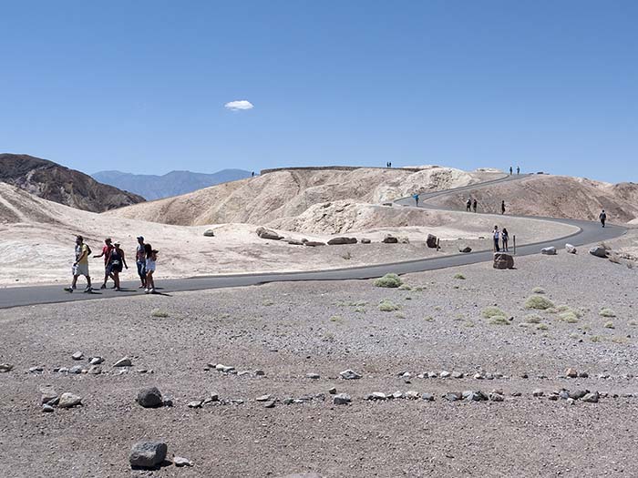
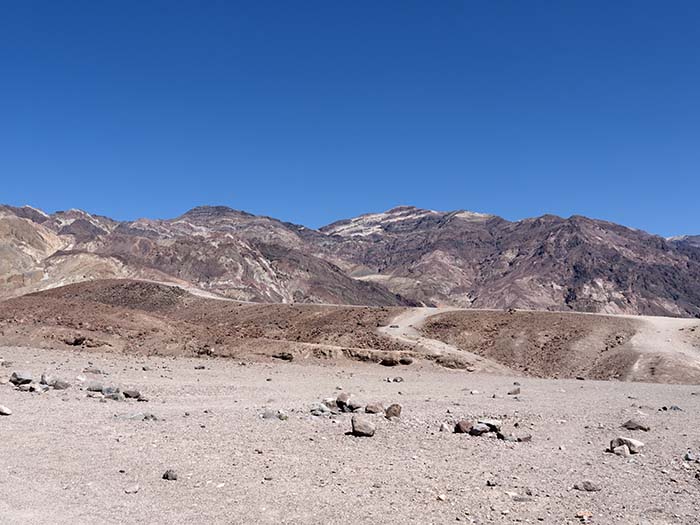
Zabriskie Point, Death Valley
August 13, 2016: 11:43 AM |
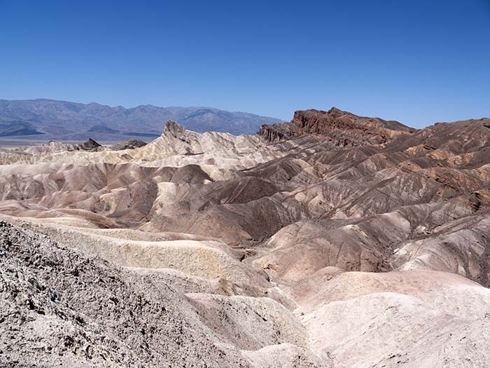
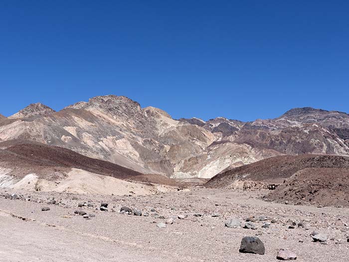
Zabriskie Point, Death Valley
August 13, 2016: 11:47 AM |
|
Death Valley has always held romantic appeal for counterculture, and one needs to look no further. Zabriskie Point is also a 1970 cult movie, directed by Michelangelo Antonioni and noted for its cinematography.
|
Death Valley
August 13, 2016: 11:56 AM |
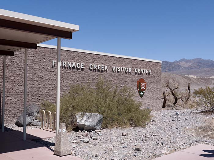
The Furnace Creek Visitor Center
August 13, 2016: 12:08 PM |
|
The Timbisha Shoshone tribe are the native people of Death Valley. Western Shoshone and Paiute people once occupied several villages scattered throughout the region, but today only the village of Timbisha at Furnace Creek remains within what is now Death Valley National Park.
nps.gov |
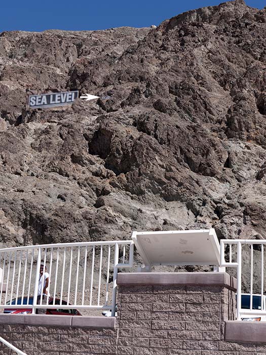
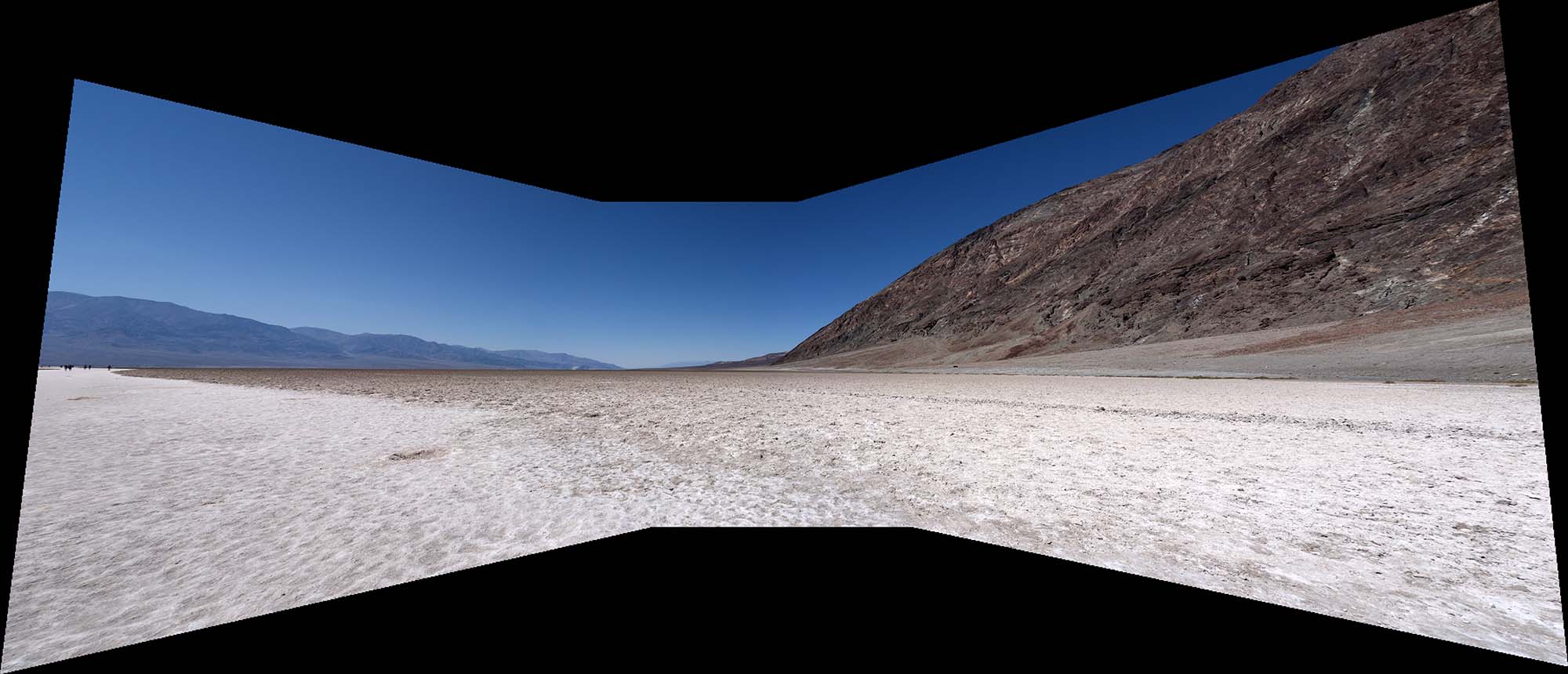
Looking up from Badwater Basin (282 ft or 86 m below sea level)
August 13, 2016: 1:57 PM |
|
As the lowest point in the Western Hemisphere, Death Valley belongs to a world-wide geographic rogues' gallery, whose members share these defining features:
|
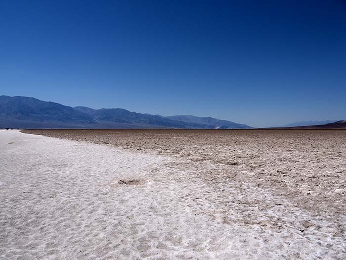
Badwater Basin (282 ft or 86 m below sea level)
August 13, 2016: 1:56 PM |
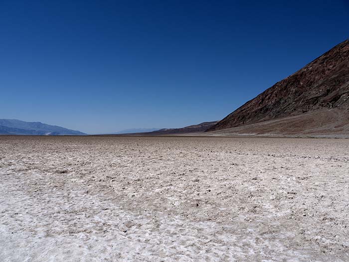
Badwater Basin (282 ft or 86 m below sea level)
August 13, 2016: 1:56 PM |
Badwater Basin (282 ft or 86 m below sea level)
[click on the image] August 13, 2016: 1:56 PM |
|
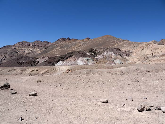
This geographic region – known as the Basin and Range Province – is spreading apart, fracturing the earth's crust along parallel faultlines. Huge blocks of land between the faults tilt like seesaws as the extension continues. Badwater Basin is above the dropping edge of a fault block that is rising on its other side to create the Panamint Mountains. Behind, the steep face of the Black Mountains is another rising fault block edge. These forces are still active. The next large earthquake could cause Badwater Basin to drop a few more feet below sea level.
Even as the basins and ranges form, erosion wears down the mountains. Debris from the surrounding area washes into the basin since it has no outlet to the sea. But erosion cannot keep up with the geologic forces that continue to create Death Valley – the basin drops faster than it fills. After millions of floods, nearly 9,000 feet (2,750 m) of sand, silt, gravel, and salt fill the valley basin. The park description |

Outside temperature: 120°F (49°C)
August 13, 2016: 2:06 PM |
Scorched landscapes
August 13, 2016: 2:13 PM |
Scorched landscapes
August 13, 2016: 2:13 PM |
|
Before it became a park, mining was the primary activity in the valley. Boom towns (now ghost towns) sprang up around local bonanzas of gold, but the most profitable ore was borax, used to make soap and industrial components. Harmony Borax Works was the engine that opened up the valley, building hundreds of miles of roads as they raked borax from the valley floor. Forty men could produce 3 tons each day. Next, it was hauled out of the valley 10 tons at a time by twenty-mule teams, the original semi-trailers; a single caravan stretched 180 feet. During six years of production they hauled more than 20 million pounds of borax out of Death Valley. Stephen Mather (1867-1930), the first director of the National Park Service, made his fortune with 20 Mule Team Borax. Success allowed him to pursue the preservation of natural wonders like Death Valley.
Your Guide to the National Parks by Michael Joseph Oswald |
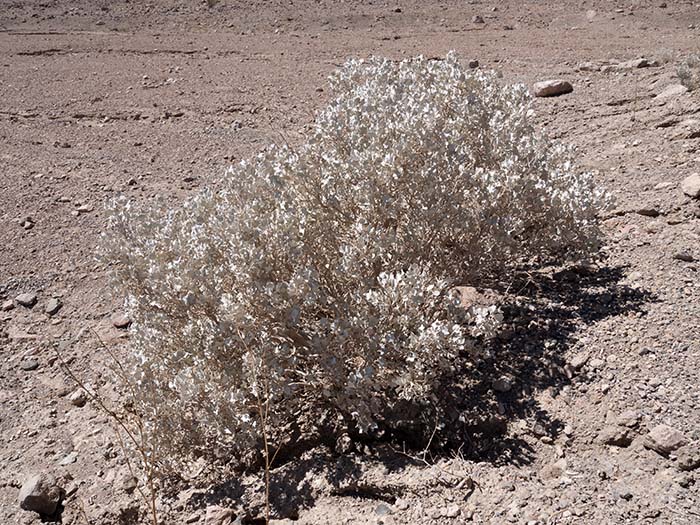
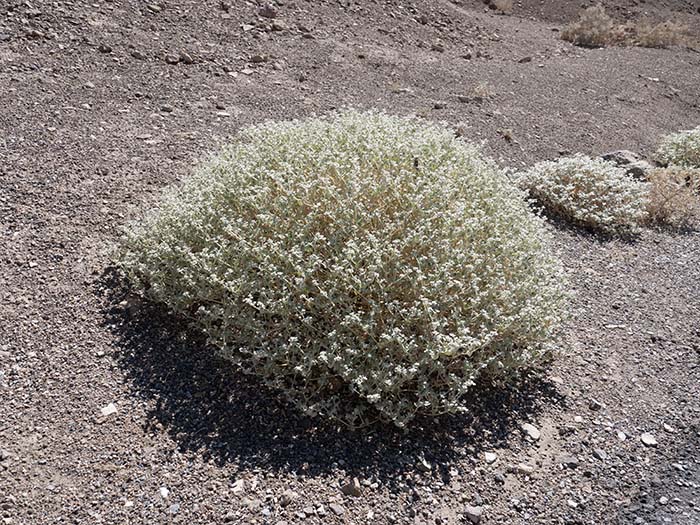
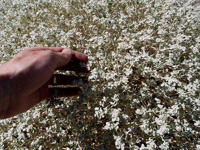
Desert holly (Atriplex hymenelytra)
August 13, 2016: 2:17 PM |
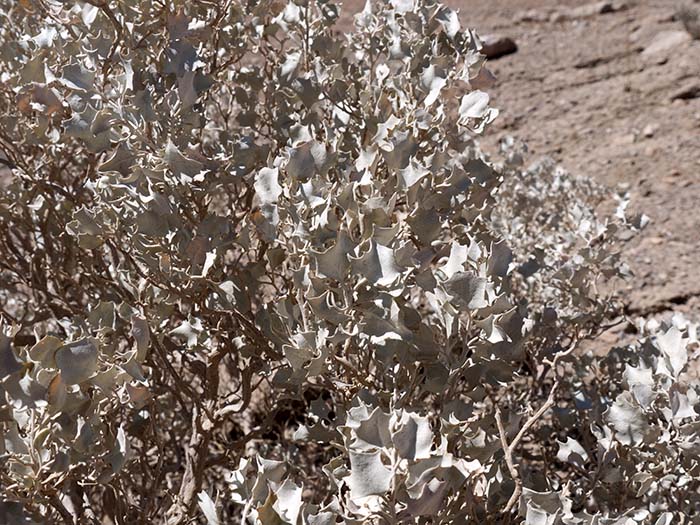
Desert holly (Atriplex hymenelytra)
Chenopodiaceae or (gene-based) Amaranthaceae (family) August 13, 2016: 2:17 PM |
|
The common name refers to the leaves that are shaped similar to holly, but the plants are not related. The desert holly is in the goosefoot family (Chenopodiaceae). It is the most drought tolerant saltbush in North America.
|
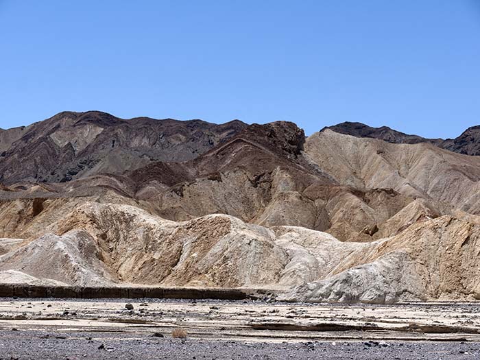
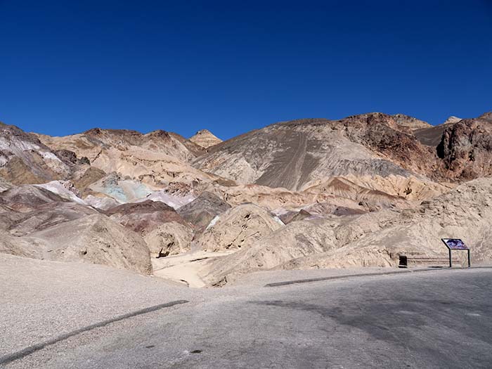
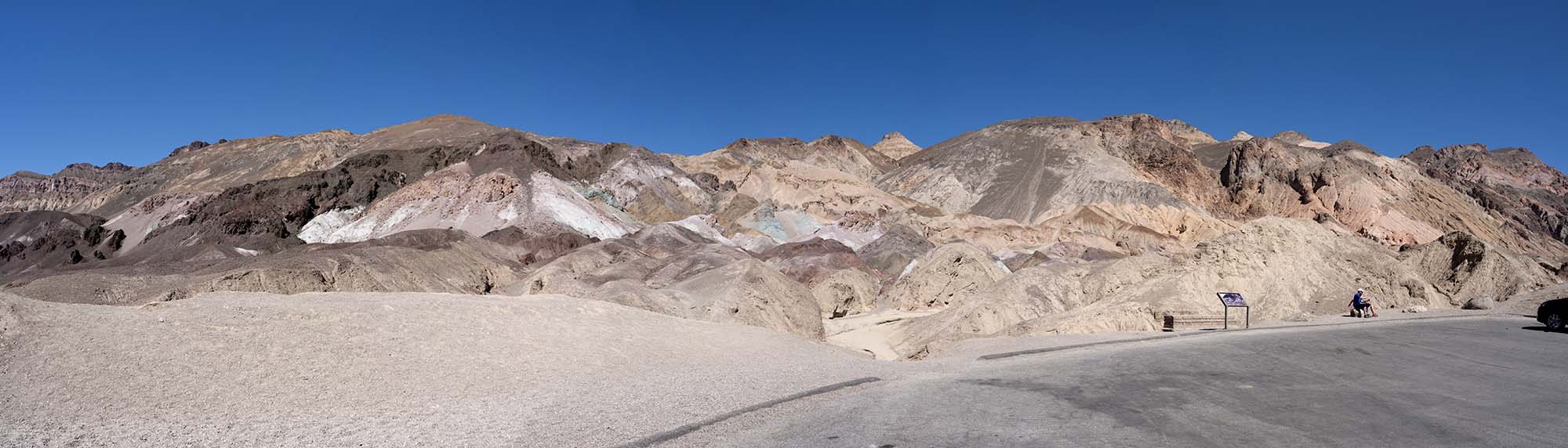
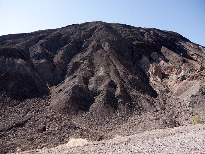
Rock colors
August 13, 2016: 2:21 PM |
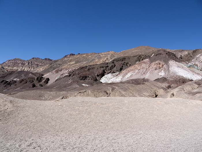
Rock colors
August 13, 2016: 2:23 PM |
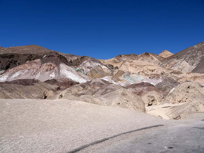
Rock colors
August 13, 2016: 2:23 PM |
Rock colors
August 13, 2016: 2:23 PM |
Rock colors
[click on the image] August 13, 2016: 2:23 PM |
|
More than 5 million years ago, repeated volcanic eruptions blanketed the landscape, depositing ash and minerals. The volcanic minerals were chemically altered by heat and water, with variable amounts of oxygen and other introduced elements. Chemical analyses have identified a paint pot of elements: iron, aluminum, magnesium, and titanium, but no copper. Some of the colored minerals here include red hematite and green chlorite. This is truly a natural artist's palette of color splashed across the slope. The time of day, clouds, and the rare rainfall shift the intensity of the colors, making each visit slightly different.
The park description |
Desert purple sage (Salvia dorrii)
August 13, 2016: 2:26 PM |
Desert purple sage (Salvia dorrii)
Lamiaceae (family) August 13, 2016: 2:27 PM |

Outside temperature: 123°F (51°C)
August 13, 2016: 2:32 PM |
Route 190
August 13, 2016: 2:33 PM |
Creosote bush (Larrea tridentata)
Zygophyllaceae (family) August 13, 2016: 2:58 PM |
Pickleweed (iodine bush) (Allenrolfea occidentalis) with the Panamint Mountains
August 13, 2016: 3:14 PM |
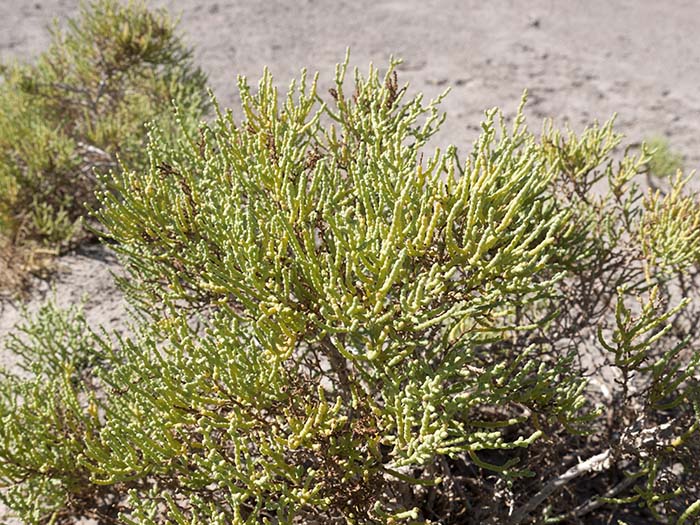
Pickleweed (iodine bush) (Allenrolfea occidentalis)
Amaranthaceae (family) August 13, 2016: 3:14 PM |
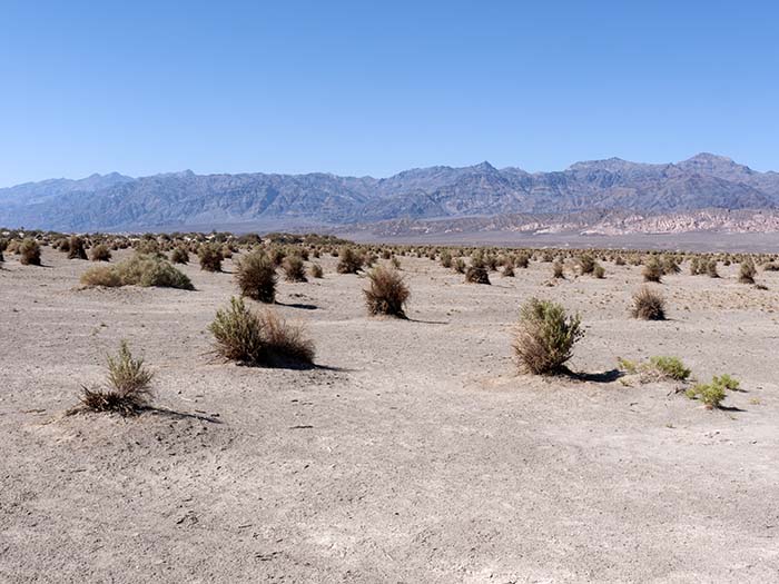
Dunes with the Panamint mountains in the distance
August 13, 2016: 3:16 PM |
|
In 2003, headless remains of Patricia Partin (1957-1998) were found in this area, but they were identified only in 2006. Partin was Carlos Castaneda's "Blue Scout." This long and strange story began some three decades earlier, with a meeting between Castaneda, a then-Ph.D. student, and a Yaqui Indian named Don Juan. This encounter, which may have taken place only in Castaneda's imagination, produced captivating books (and some deep insights into the active nature of perception), but later became a foundation for a cult-like group. It ended with the death of Castaneda in 2008 and the still-unsolved disappearance of a number of his female apprentices. The entire story is well documented in published literature, from Castaneda's The Teachings of Don Juan: A Yaqui Way of Knowledge to Amy Wallace's Sorcerer's Apprentice: My Life with Carlos Castaneda.
|
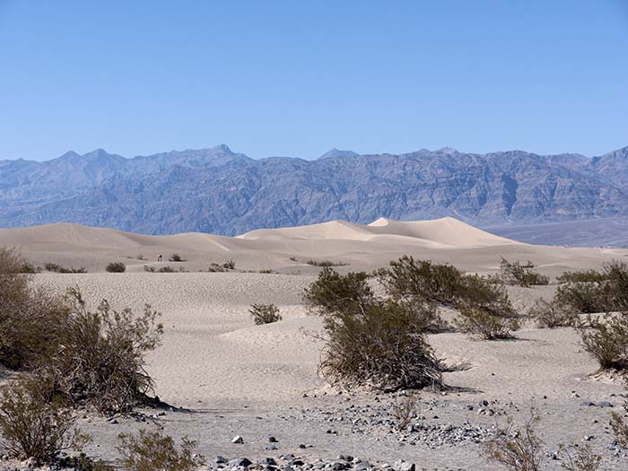
Dunes with the Panamint mountains in the distance
August 13, 2016: 3:21 PM |
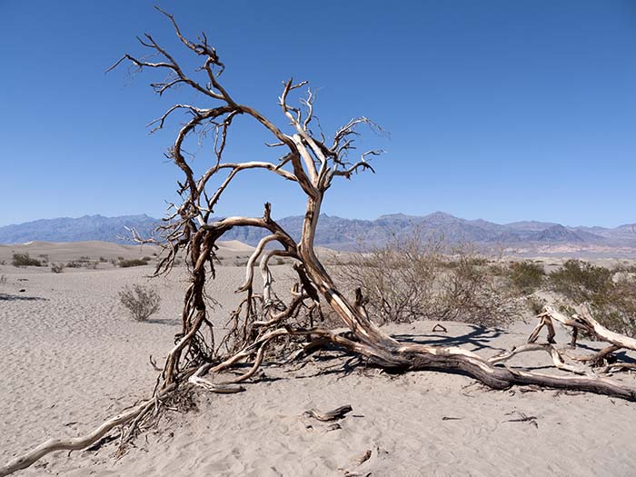
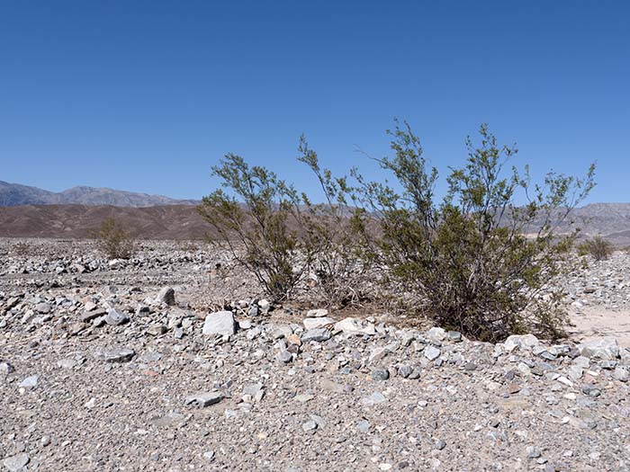
The persistence of life
August 13, 2016: 3:23 PM |
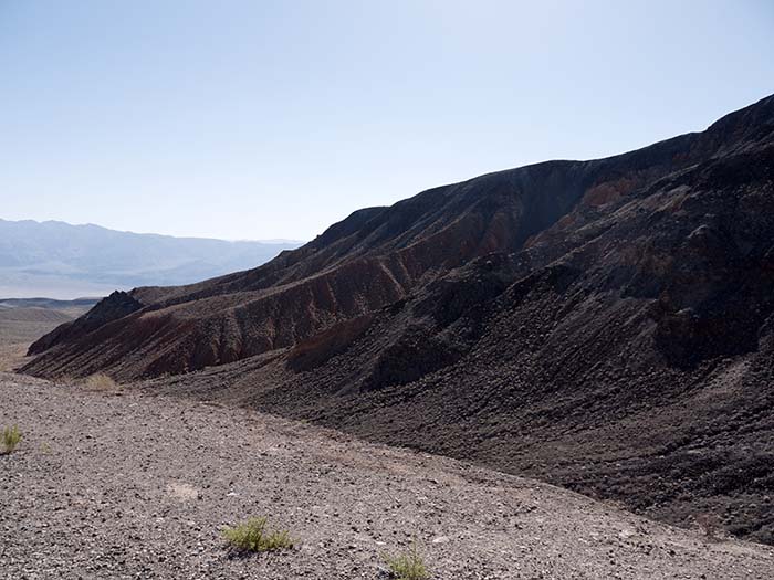
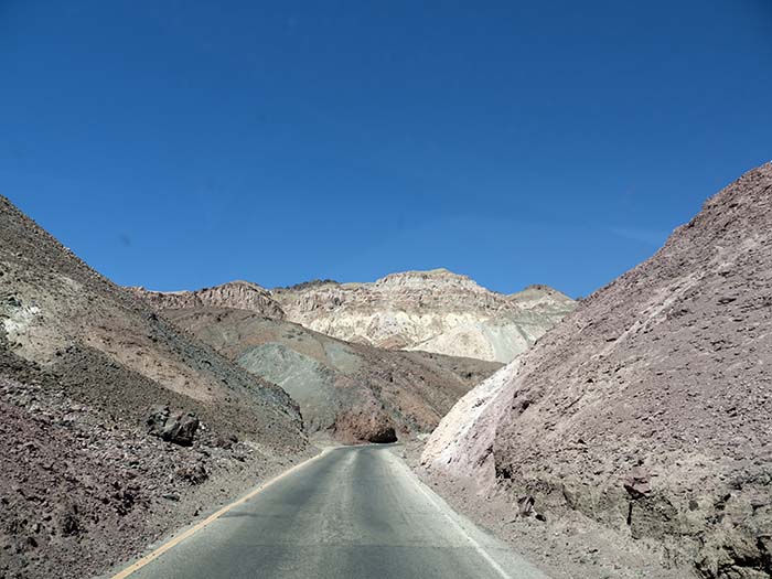
Leaving Death Valley
August 13, 2016: 3:51 PM |
Leaving Death Valley
August 13, 2016: 3:51 PM |
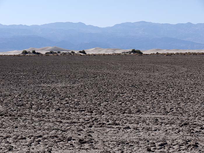
From simple beginnings (self-organization)
August 13, 2016: 4:00 PM |
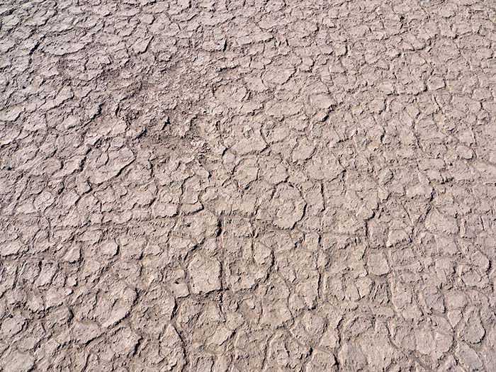
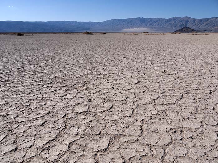
Natural tessellations
August 13, 2016: 4:01 PM |

Home, after 2,770 miles (4,458 km)
August 13, 2016: 10:14 PM |